Middle Island Lighthouse

40 Mile Point Lighthouse
Alpena Light “Little Red”
The Alpena Light was established first in 1875 and is still active today. It is a skeletal structure but stands 64 feet height. The light is not open to the public, but is accessible for viewing by car.
Driving Directions: US-23 or M- 32 to Alpena, to Water Street
Thunder Bay Island Light
The Thunder Bay Island Light constructed of brick and conical in shape, was activated in 1832. It is accessible by boat and located four miles offshore on Thunder Bay Island. The light is still active, and the house, which dates from 1868, is undergoing restoration.
Driving Directions: Northeast out of Alpena to Misery Bay Road to Lake Huron. Lighthouse is 6 miles offshore on Thunder Bay Island
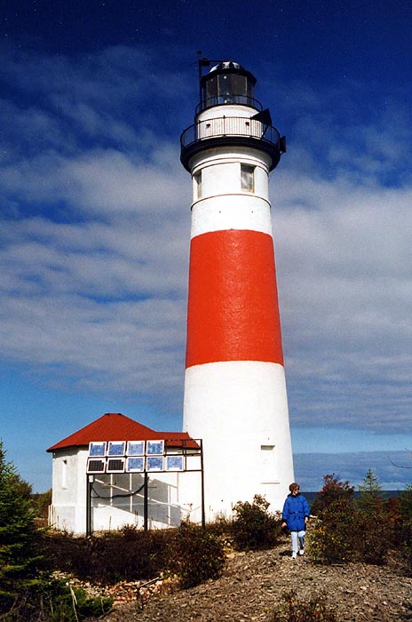
Middle Island Lighthouse
The Middle Island Lighthouse was established in 1905. The conical brick structure is only accessible by boat. Although the site was once abandoned, it has been taken over by the Middle Island Light Keeper’s Association who are currently restoring the light and the keeper’s quarters. It is the Association’s hope that this will become a Bed and Breakfast.
Driving Directions: US-23 to Rockport Road, to Lake Huron shore. Follow Rockport Road as it curves north, Lighthouse is 2 miles off Shore
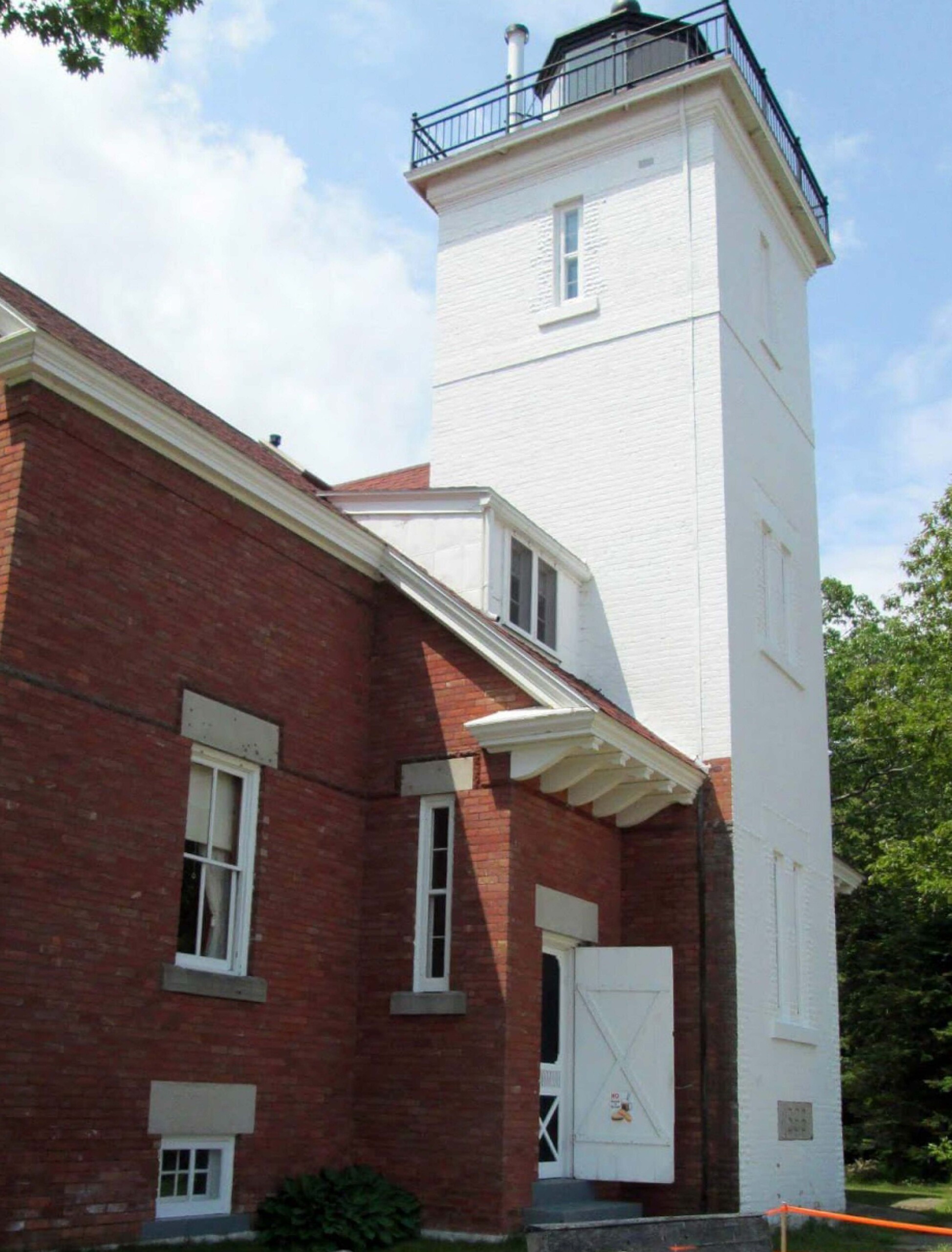
Forty Mile Point Lighthouse
Forty Mile Point was established in 1896, and is located on the beach six miles north of Rogers City. The square/integral structure is composed of brick, and is accessible by car. It stands 53 feet tall and has attached keeper’s quarters and a museum.
Driving Directions: Take US-23 4 miles north of Rogers City to P.H Hoeft State Park.

